As soon as you pass through our gates, you’ll see why Amicalola Falls State Park is one of the most popular parks in the South. With 829 acres of beautiful North Georgia mountain wilderness in the heart of the Chattahoochee National Forest, Amicalola Falls State Park & Lodge is just one of five Georgia State Parks with a lodge and restaurant.
Interactive Park Map (click the top left corner for more details)
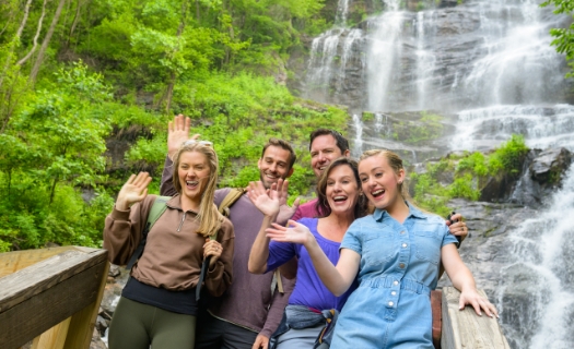
Waterfall
Amicalola, a Cherokee Indian word meaning “tumbling waters,” is an appropriate name for the 729-foot falls, the third-highest cascading waterfall east of the Mississippi River. While Amicalola Falls is the most notable feature of the park, there are many other reasons visitors have been flocking to this site since it was established as a state park in 1940.
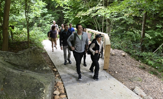
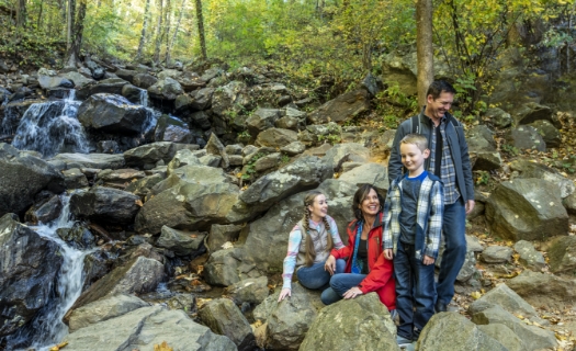
Trails
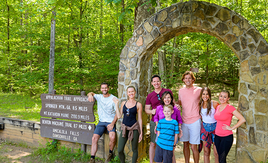
Many beautiful and diverse hiking and walking trails wind through the park and activities are abundant at the Amicalola Falls Visitors Center. One of the most popular trails, the eight-mile Approach Trail leads from the park to Springer Mountain, the southern terminus of the 2,193-mile Appalachian Trail.
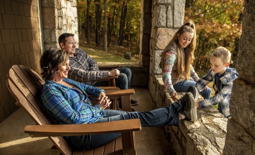
Diverse Lodgings
Overnight accommodations at our Georgia mountain resort include 57 comfortable lodge rooms, 13 cozy rental cabins and 24 wooded campsites. There are also luxury Safari Tents for glamping, featuring beds, coffee makers, lamps, and other hotel-like amenities.
Activities
On-site activities include zip lining, trout fishing, guided hikes, GPS scavenger hunts, 3-D archery and hatchet throwing.
Meetings, Weddings, Events
The park is often used to host corporate events, family reunions and group retreats and is a popular destination wedding location.
A.T. Gateways
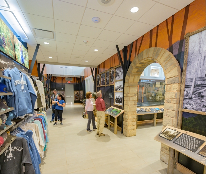
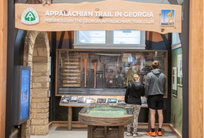
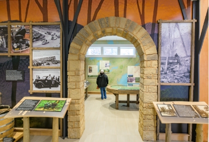
Hosted by the Georgia Appalachian Trail Club, Amicalola Falls State Park & Lodge and the Friends of Amicalola Falls State Park, AT Gateways is a celebration of the Appalachian Trail, bringing together people who love the trail and the trail community. Learn more at https://atgateways.com/
Whether you want to relax in the natural confines of the wooded campground, explore the Dawsonville, GA area or hike miles of mountain trails, Amicalola Falls State Park & Lodge is ready for whatever Georgia activities you have in mind.
Park Hours & Access
Amicalola Falls State Park is accessible year-round during daylight hours.
Visitor Center Hours:
Sunday through Thursday: 8am to 5pm
Friday and Saturday: 8am to 5pm
All vehicles entering Amicalola Falls State Park require a $10 GA State Park Pass.
Frequent park visitors can save money with a $70 Annual Park Pass available at the Lodge or Visitor’s Center. Passes are good for one year from the purchase date.
Avoid the crowds and find more opportunities open for activities by scheduling a mid-week visit.